Oceanic Microplastics: Interactive Mapping Guide
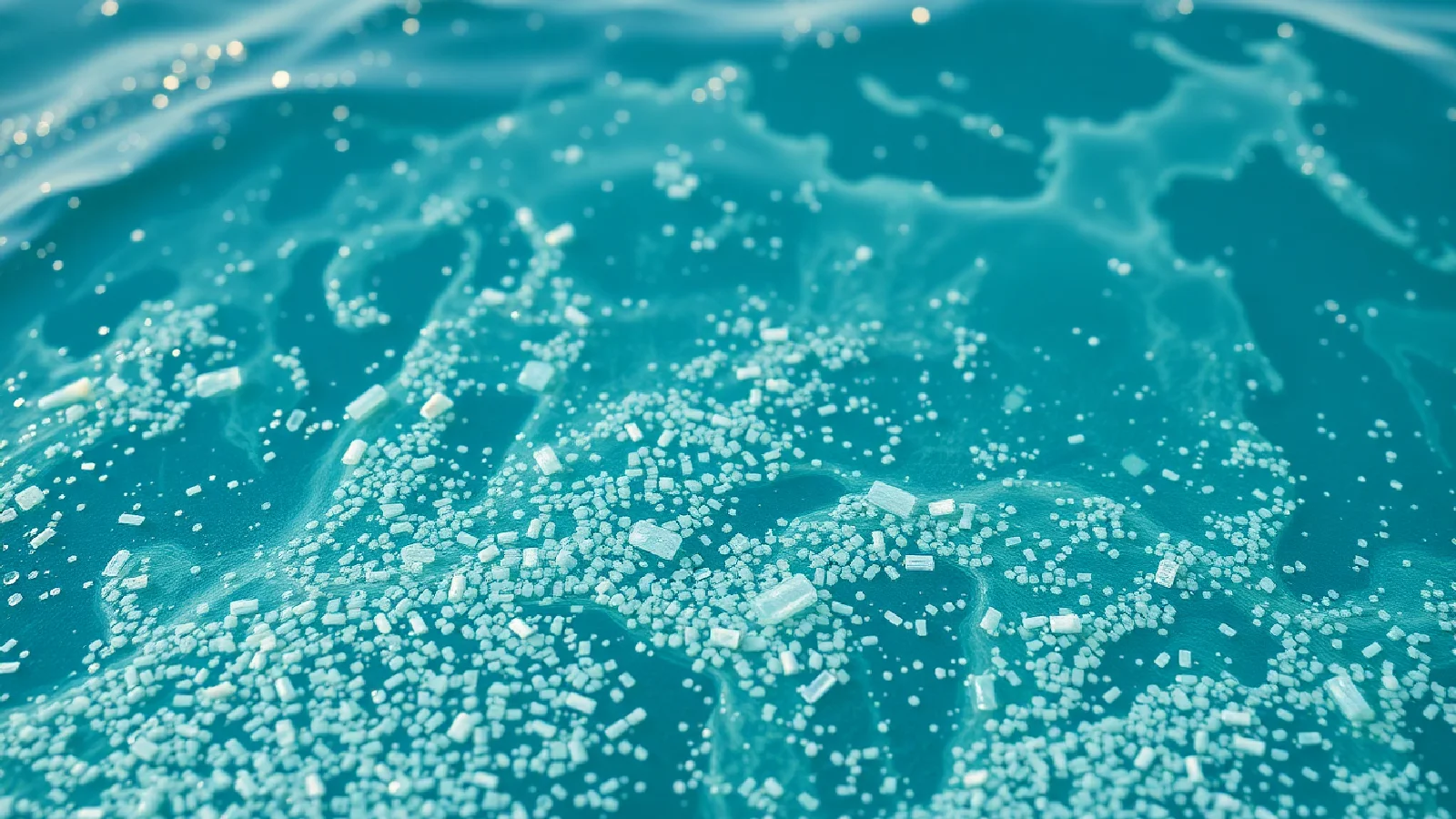
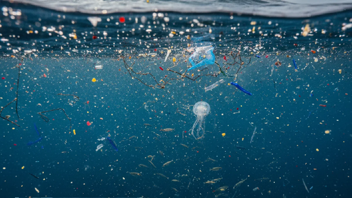
Oceans now contain millions of tons of microplastics – particles less than 5 mm that directly threaten marine biodiversity. Faced with this invisible yet omnipresent pollution, citizens and researchers now have interactive mapping tools to visualize and understand this planetary contamination.
This digital mapping represents much more than a mere technical tool: it is a revolution in our approach to environmental monitoring, allowing us to identify critical areas and guide protection efforts.
The Foundations of Microplastic Mapping
Data Collection and Standardization
The creation of effective interactive mapping relies on aggregating multiple data sources. Systematic sampling along estuaries, coastlines, and oceanic gyres provides particle concentrations, distinguishing fragments, fibers, and microbeads by their polymer type.
Riverine plastic flows are an essential component of this data. Major European rivers – the Thames, Elbe, Rhine, Seine, Rhône, Garonne – carry considerable quantities of plastic waste into the oceans daily, creating predictable concentration zones. To learn more about continental water monitoring, consult the report on microplastics in surface waters.
Hydrodynamic parameters complement this information: current speed and direction, surface temperatures, salinity. This data allows for modeling particle dispersion and predicting their trajectory.
Technical Architecture of Mapping Systems
Mapping platforms primarily use two technological approaches:
- Traditional GIS solutions: QGIS enables advanced geospatial data processing, with sophisticated spatial analysis features.
- Interactive web applications: OpenLayers or Leaflet offer maximum accessibility from any browser.
These systems structure information into superimposable layers: average concentration, polymer typology, particle size, habitat vulnerability index. Each layer can be activated or hidden according to analysis needs.
| Technological Approach | Description | Key Advantages |
|---|---|---|
| Traditional GIS Solutions | Software like QGIS for geospatial data analysis and processing. | Sophisticated spatial analysis, advanced processing. |
| Interactive Web Applications | Platforms based on OpenLayers or Leaflet, accessible via browser. | Maximum accessibility, interactive visualization. |
Interpreting Cartographic Data
Identifying Hotspots
Cartographic analysis reveals characteristic concentration zones, primarily located downstream of urban areas and river mouths. These hotspots generally correspond to the trajectories of continental water masses laden with particles. A feasibility study on riverine macro-waste monitoring is available here.
Correlation with areas of high biodiversity allows for the assessment of ecotoxicological risks. Seagrass beds, coral reefs, and spawning grounds are particularly vulnerable habitats where the impact of microplastics is maximal.
"Interactive mapping makes it possible to distinguish primary sources – directly discharged industrial microbeads – from secondary sources resulting from the fragmentation of macro-debris."
Spatio-temporal Analysis
Spatial analysis tools integrated into mapping platforms offer advanced functionalities:
Hot-spot analysis statistically identifies abnormally high concentration areas, while kriging interpolation estimates concentrations in unsampled areas. These methods quantify ecotoxicological risks with remarkable geographical precision.
Temporal filters are a major asset for tracking seasonal or annual pollution evolution. Superimposing historical data reveals long-term trends and the effectiveness of implemented prevention measures.
Citizen Participation and Collaborative Science
Mobile Field Applications
Participatory science significantly enriches cartographic databases. Mobile applications allow citizens to georeference their own samples, documenting the presence of microplastics in areas poorly monitored by institutional networks.
These citizen contributions follow standardized protocols: georeferenced photography, visual estimation of concentrations, identification of observed particle types. The multiplication of observations improves the spatial resolution of maps and allows for real-time adjustment of alert thresholds.
Validation and Quality Control
Participatory data undergoes automatic and manual validation. Algorithms detect geographical or temporal inconsistencies, while expert moderators verify the quality of observations before integration into the cartographic database.
This collaborative approach democratizes access to environmental monitoring while maintaining rigorous scientific standards. It also raises public awareness of plastic pollution issues. For more information on microplastic exposure, you can consult this article on food sources and human exposure.
Advanced Analysis Tools for Researchers
Predictive Modeling
Researchers use cartographic data to develop predictive models of microplastic dispersion. These models integrate ocean currents, continental inputs, and polymer degradation processes.
Analysis of debris trajectories allows for tracing contamination sources and evaluating the effectiveness of different reduction scenarios. This prospective approach guides public policies towards the most polluting watersheds.
Ecotoxicological Risk Assessment
Superimposing concentration data with biodiversity maps quantifies risks for each species. Filter-feeding species – mussels, oysters, sponges – show maximum exposure, while larval fish experience critical developmental impacts.
These spatial analyses identify priority conservation areas, directing resources towards the most threatened and ecologically significant habitats.
Practical Applications and Future Developments
Integration into Public Policies
Interactive mapping transforms environmental policy development. It provides decision-makers with an immediate visualization of issues, facilitating the allocation of depollution budgets and the prioritization of actions.
Local authorities use these tools to target their cleanup interventions and raise awareness among riparian populations. This geolocated approach optimizes the effectiveness of prevention campaigns.
Emerging Technologies
Artificial intelligence is revolutionizing cartographic data analysis. Deep learning algorithms automatically identify particle types in satellite images, accelerating the updating of contamination maps.
Remote sensing by drones and satellites expands geographical coverage, particularly in hard-to-reach oceanic areas. This continuous monitoring improves responsiveness to acute pollution events.
Future developments will likely integrate augmented reality, allowing users to visualize contamination data in situ during their sea outings or on the coast. For a broader view of environmental challenges, also discover the business perspective on climate regulations.
The future of this interactive mapping lies in its ability to unite all stakeholders – scientists, managers, citizens – around a shared vision of oceanic challenges. This collaborative and technological approach offers tangible hope for preserving our marine ecosystems from plastic invasion.