Martian Panoramas: Curiosity and Perseverance Reveal Mars
NASA's two Martian rovers have just released spectacular panoramas that are transforming our understanding of the Red Planet. Between November 2025 and January 2026, Curiosity and Perseverance assembled nearly 2,000 images to create two 360° views that tell two distinct chapters of Mars' aquatic history.
These panoramas are not just spatial postcards. They represent essential scientific tools for identifying the most promising areas in the search for biosignatures and understanding how Mars transitioned from a potentially habitable world to the arid planet we know today.
Curiosity's Geological Spiderwebs
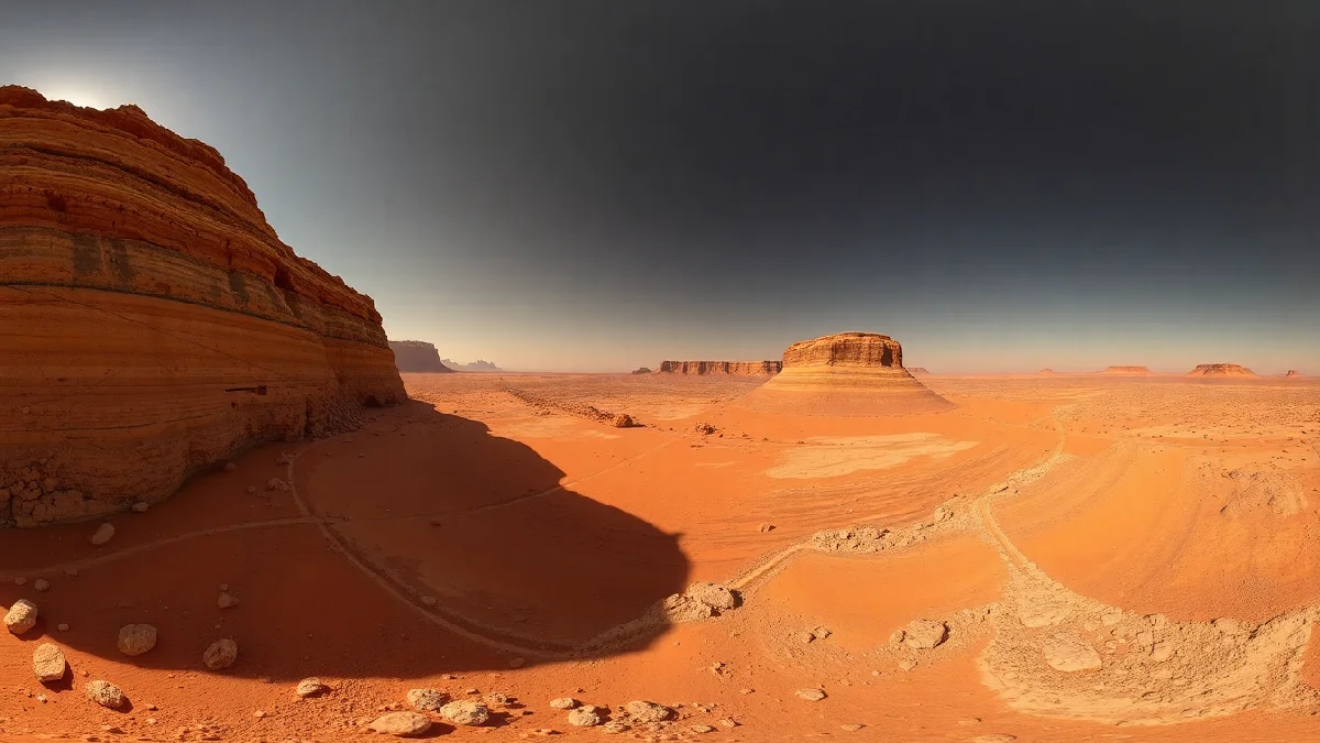
Between November 9 and December 7, 2025, Curiosity assembled over 1,000 images to reveal a vast network of formations dubbed “boxwork.” These spiderweb-like structures, extending along the flank of Mount Sharp, bear witness to a fascinating geological episode.
The formation process of these structures dates back approximately 1.5 billion years. Subsurface water infiltrated fractures in the bedrock, depositing minerals that hardened like cement. Over eons, the Martian wind eroded the surrounding rock, but not these more resistant mineralized veins, creating a network of ridges that can reach several tens of centimeters in height.
According to NASA, these boxwork formations had never been observed on the ground before, only from orbit. Their direct exploration allows scientists to study the precise mineral composition of these deposits and reconstruct the chemistry of the subsurface water that formed them. This type of discovery is essential for evaluating past environments that may have harbored life, as highlighted by Space.com.
“These boxwork formations testify to a subsurface hydrothermal system that could have offered refuge to microbial life, protected from increasingly hostile surface conditions.”
A NASA video on YouTube also offers a 360° view of these Martian “spiderwebs.”

Perseverance on the Edge of Jezero Crater
Meanwhile, Perseverance captured nearly 980 images between December 18, 2025, and January 25, 2026, of “Lake of Charms” and “Crocodile Bridge,” two sites located on the rim of Jezero Crater. These rock formations are among the oldest accessible in the solar system.
Spectroscopic analyses reveal the presence of clays and sulfates, two types of minerals that form exclusively in the presence of water. These minerals possess a crucial property for astrobiology: their crystalline structure can trap and preserve organic molecules for billions of years.
Jezero Crater once harbored a lake fed by a river delta, as evidenced by the observable stratigraphy in the panoramas. The successive sedimentary layers tell the story of an aquatic environment that gradually dried up, offering an exceptional spatial chronology of the Martian climate transition.
JPL emphasizes that these sites represent priority targets for the sample return mission, currently undergoing redefinition following budgetary and technical constraints announced in 2026.
Two Temporal Windows into Martian Habitability
The scientific power of these panoramas lies in their complementarity. Curiosity explores formations 1.5 billion years old, a period when Mars had already lost most of its atmosphere. Perseverance, on the other hand, documents rocks dating back more than 3.5 billion years, when the Red Planet was still wet and potentially habitable.
This spatial chronology allows scientists to reconstruct the progressive transformation of Martian aquatic environments:
- Ancient phase (> 3.5 Ga): surface lakes, river deltas, water chemistry favorable to life
- Intermediate phase (1.5-3 Ga): subsurface water networks, protection from surface radiation
- Current phase: hyper-arid surface, residual water in the deep subsurface
This evolution suggests that if microbial life appeared on Mars, it would have gradually migrated underground as surface conditions deteriorated. The boxwork formations explored by Curiosity would represent precisely this type of protected underground habitat.
Implications for Sample Selection
These panoramas are not only for fundamental research. They directly guide operational decisions regarding sample collection. Perseverance has already collected several dozen rock cores in sealed tubes, intended for eventual return to Earth.
The clay and sulfate minerals identified in the Jezero panoramas correspond precisely to the types of samples astrobiologists wish to analyze with sophisticated instruments in terrestrial laboratories. These rocks could contain molecular biosignatures: complex organic molecules, characteristic isotopes of living metabolism, or microscopic fossil structures.
The Mars sample return mission, although facing technical and financial challenges, remains a scientific priority. Current panoramas help refine selection criteria to maximize the chances of discovering traces of past life, while documenting Mars' geological and climatic history. To learn more about the solutions considered for bringing these samples back, one can consult analyses like that from Futura-Sciences.
To understand the logistical challenges of this ambitious undertaking, the question of space transport becomes central, especially with advances in programs like Starship and its future goals for Mars.
The Technology Behind the Panoramas
Creating these immersive views requires remarkable technical orchestration. Each panorama results from hundreds of individual images captured by the Mastcam (Curiosity) and Mastcam-Z (Perseverance) cameras, mounted on the rovers' mast approximately two meters above the ground.
The acquisition process spans several Martian weeks (sols). The rovers methodically photograph their environment in horizontal and vertical strips, adjusting exposure to optimize details in shaded and lit areas. The raw images are then transmitted to Earth via orbiting Martian satellites, a process that can take several days given the limited bandwidth.
Once on Earth, engineers assemble these giant mosaics by correcting optical distortions and equalizing colors. Curiosity's panorama reaches 1.5 billion pixels, allowing scientists to zoom in on millimeter-sized details from several tens of meters away.
The expansion of space communication capabilities, particularly with the deployment of Starlink and its 70 weekly satellites, could significantly improve data transmission rates from Mars for future missions.
Towards a Complete Mapping of Mars
These panoramas are part of a global mapping effort that combines orbital observations and ground explorations. Satellites like Mars Reconnaissance Orbiter provide high-resolution images of the entire planet, identifying sites of geological interest. The rovers then provide ground verification and detailed mineralogical analyses.
This multi-scale approach allows local observations to be contextualized within a regional and global framework. Boxwork formations, for example, are not unique to Curiosity's site. Orbital images have identified them in several other Martian regions, suggesting that subsurface water systems were once widespread on the planet.
As the fleet of Martian satellites grows and new rovers join Curiosity and Perseverance, our understanding of Martian history becomes clearer. Each panorama adds a piece to the geological puzzle, bringing scientists closer to answering the fundamental question: did Mars ever harbor life?
The Challenges of Robotic Exploration
Operating rovers on Mars involves considerable technical constraints. The Earth-Mars distance varies between 55 and 400 million kilometers depending on orbital positions, resulting in a communication delay of 4 to 24 minutes in each direction. Teams therefore cannot control the rovers in real-time.
Each Martian day (sol, which lasts 24 hours and 39 minutes) requires meticulous planning. Engineers program activity sequences in advance, taking into account energy constraints, autonomous navigation to avoid obstacles, and communication windows with relay satellites.
Environmental conditions add further challenges. Dust storms can drastically reduce the energy production of solar panels, forcing rovers to hibernate for several weeks. Extreme thermal variations (from -125°C at night to 20°C during the day near the equator) stress electronic and mechanical components.
Despite these obstacles, Curiosity has been operating for over 13 Earth years, well beyond its initial two-year mission. Perseverance, which arrived in February 2021, is accumulating scientific discoveries while testing technologies for future crewed missions.
Comparison of Rovers and Key Objectives
| Characteristic | Curiosity (MSL) | Perseverance (Mars 2020) |
|---|---|---|
| Landing Date | August 2012 | February 2021 |
| Exploration Site | Gale Crater, Mount Sharp | Jezero Crater |
| Primary Mission | Study of past habitability, geology | Search for biosignatures, sample collection |
| Panorama Period | Nov-Dec 2025 | Dec 2025 - Jan 2026 |